Tropical Storm 01S 2025-2026
Last Modified:
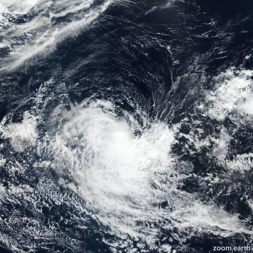
Live tracking map, satellite images and forecasts of Tropical Storm 01S 2025-2026 in the southwest Indian Ocean. Current wind speed 65km/h. Max 75km/h.
01S is located 1035 km west of the Cocos Islands, and has tracked westward at 11 km/h (6 knots) over the past 6 hours. Maximum significant wave height is 3.7 meters (12 feet).
01S will move west-southwestward on the northwestern edge of a subtropical ridge to the south for the remainder of the forecast period. Wind shear will decrease favorably within the next 12 hours, allowing for a period of slight intensification in the near-term to 75 km/h (40 knots).
Wind shear will increase significantly as the system tracks closer to the subtropical jet (STJ) to the south in around 24 to 36 hours. Additionally, 01S will lose favorable heat and moisture as the system passes into cool sea surface temperatures below 26°C, initiating a phase of weakening after 24 hours.
01S will dissipate below warning threshold in 2 days as wind shear erodes the circulation structure. Deterministic model guidance is in strong agreement that 01S will move west-southwestward while driven by a subtropical ridge to the south.
Ensemble guidance is also in good agreement, despite a slightly larger spread in the near-term by ECENS. The JTWC intensity guidance is in good agreement that 01S will have a peak intensity of approximately 75 km/h (40 knots) within the next 12 to 24 hours.
The ensemble guidance captures peak intensities of 65–75 km/h (35–40 knots) as well, with ECENS leaning towards the higher end.